Located in the northern region of Uganda, Nwoya District is a land known for its natural beauty and rich cultural heritage.
Nwoya was created in 2010 after being separated from Amuru District. It shares borders with Gulu, Amuru, Kiryandongo, and Masindi, and it covers an area of about 4,736 square kilometers.
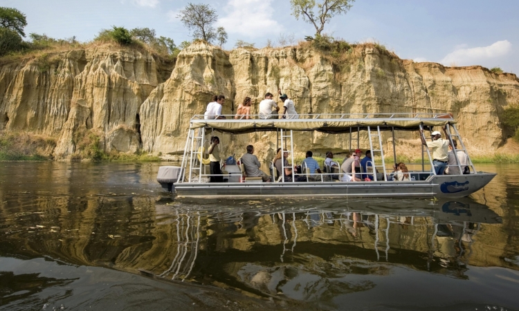
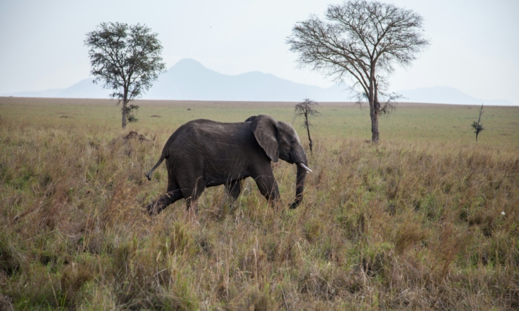
The district is made up of a mix of savannah grasslands, woodlands, and riverine forests, influenced by the Albert Nile, which flows through the area.
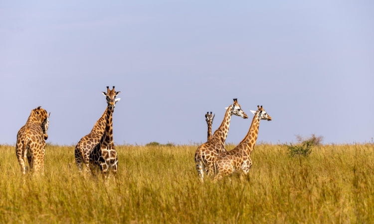
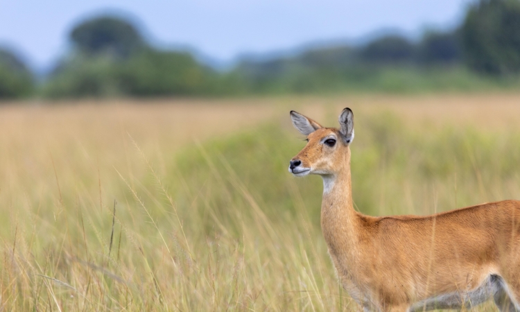
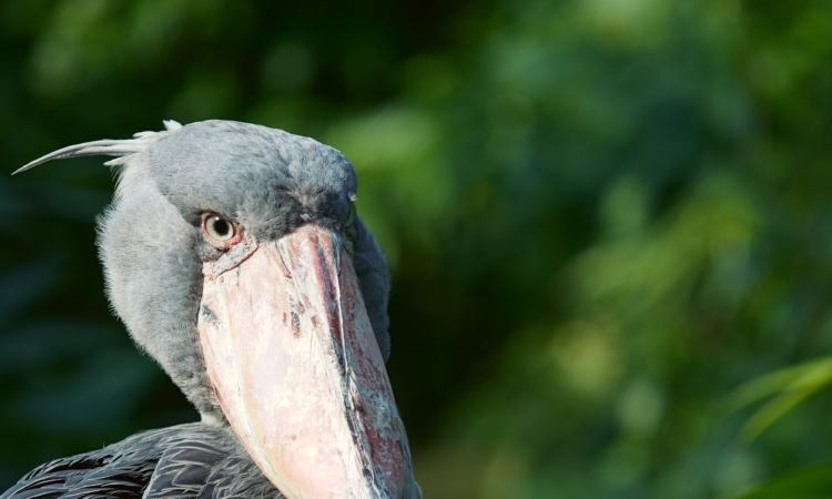
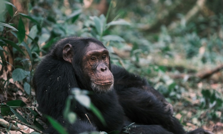
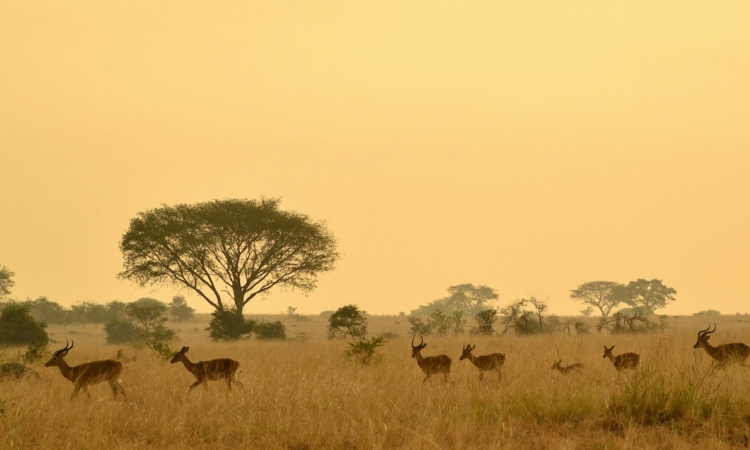
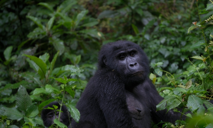
Nwoya is one of the districts near Murchison Falls National Park, Uganda’s most famous natural attraction.
The district experiences a tropical climate with two main seasons: the dry season from December to February and from June to August, and the rainy season from March to May and from September to November.
Nwoya has a population of over 150,000 people. The Acholi are the majority, followed by the Alur, Langi, and Madi communities.
Most people in the district are farmers. They grow crops such as cassava, millet, maize, and groundnuts. Agriculture is the backbone of the local economy.
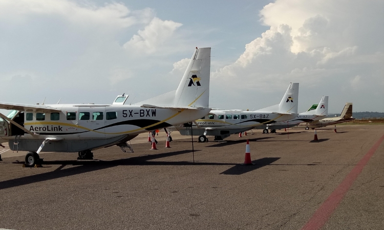
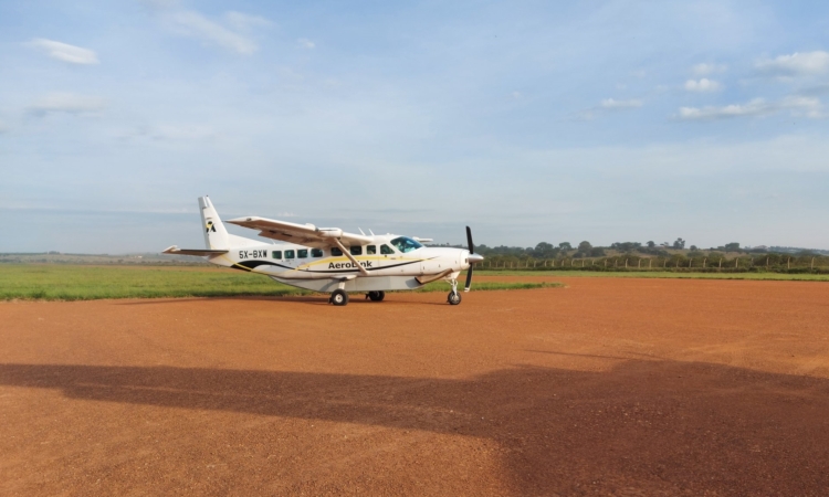
Nwoya’s location near Murchison Falls has made it a growing destination for tourism. Visitors can easily access the park and Ziwa Rhino Sanctuary. Tourists can also explore the culture of local communities like the Acholi, known for their traditional music, dance, and storytelling.
The district’s infrastructure has improved over the years. It is accessible via the Kampala-Gulu highway, with feeder roads connecting villages to trading centers. More homes now have electricity, and health services have expanded through government support.
Like other districts in northern Uganda, Nwoya was heavily affected by the Lord’s Resistance Army (LRA) led by Joseph Kony, which caused deaths and displacement. However, resettlement and development programs have helped bring peace and stability back to the area.
Nwoya District is a place of resilience, cultural richness, and great potential for growth.